Flows
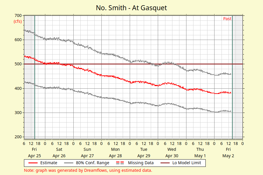
North Fork Smith River Flow Graph

Dreamflows – North Smith River Flows
CFS= Cubic Feet per Second
 Flow Level Descriptions
400-4000 CFS: Runnable flows for kayaking and rafting.
*Small rafts recommended under 700 cfs. Canoeists should be at the top of their game if attempting this river at low flows. Kayakers can eek out a hairy run on flows as low as 400 cfs in a hard kayak…no IKs should attempt it a this point.
Smith Watershed
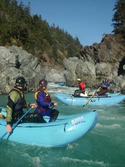
The Smith can truly be called the jewel of California’s northern rivers. It is the only entirely dam-free waterway in the state and is considered California’s only rain forest area. The scenery surrounding the river is unique and breathtaking. The Smith drains from the Siskiyou Mountains of Northern California and Southern Oregon. Since there are no dams on any of the forks, whitewater on the Smith pretty much occurs during or shortly after a rain storm when runoff rushes through the canyon. The ample precipitation supports dense vegetation along the river’s edge. Fishing is excellent, and anyone lucky enough to experience whitewater rafting and kayaking on this National Wild and Scenic river are humbled by its splendor.
